TRIP REPORT: THE ROCKWALL, KOOTENAY NATIONAL PARK
Words by Nia Williams • Photos by Audrey Rancourt
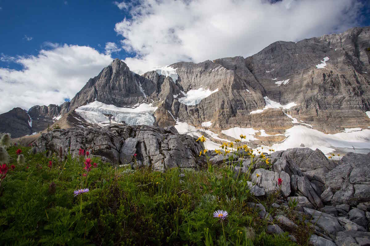
Traversing three alpine passes, lush forests, lunar scree slopes and heavenly wildflower meadows, the 55-kilometre Rockwall Trail in the Kootenay Valley is a Rockies hiking gem. Along the route, hanging glaciers and waterfalls burst out of the Rockwall itself, a 900-metre-high rampart of limestone and dolomite that looms over the trail for much of its length. Enthusiasts can hike the whole trail in two days, taking an overnight break at Numa Creek Campground (20 km), but a four-day trip gives more time to enjoy the epic scenery.
IMPORTANT NOTE: Most years multiple exit and entry points from Highway 93 South means you can customise the trail to suit your schedule and fitness level, without missing out on the highlights. This year, however, the Numa Creek and Tumbling Creek trails are closed due to washed out bridges. See Parks Canada for more information.
SUGGESTED ITINERARY
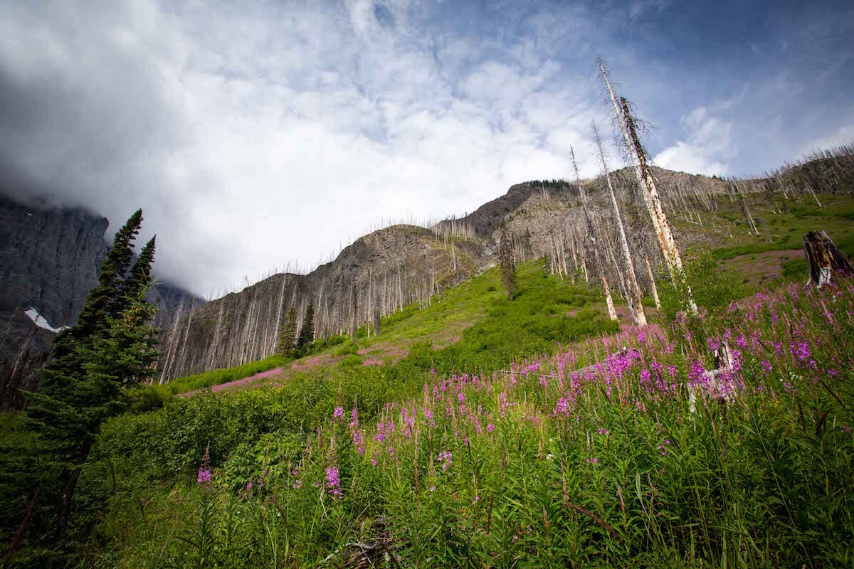
Day 1
Hike 10.5 km from Floe Lake trailhead to Floe Lake Campground. The trail through burned forest, a remnant of the 2003 Kootenay fire, teems with hot pink common fireweed and stunning views.
Day 2
Take the steep trail up and over Numa Pass, dropping from barren alpine to dense bush, and do it all over again over Tumbling Pass (17.9 km) to the lush and spacious Tumbling Creek campground.
Day 3
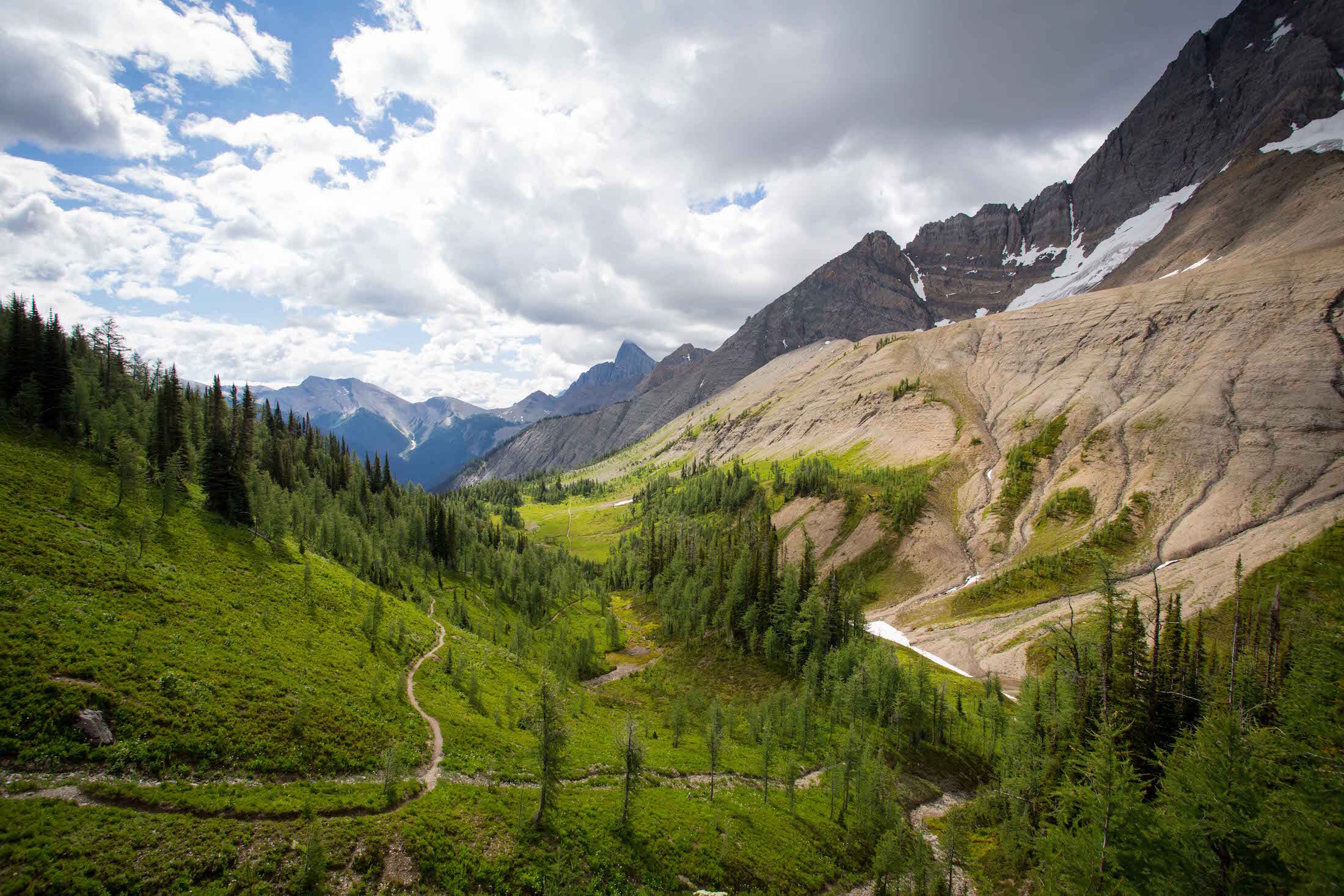
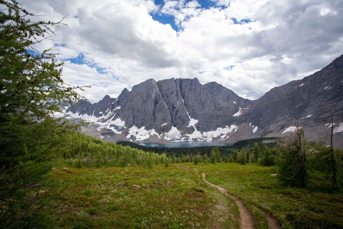
Hike through the subalpine meadows of Rockwall Pass under glaciers and moraines, before dropping through forest switchbacks yielding tantalizing glimpses of Helmet Falls, upstream of the campground (11.6 km)
Day 4
Follow the undulating route along Helmet Creek back to the Paint Pots trailhead (15.5 km)


Love This
Idyllic Floe Lake campground; keep an eye out for glaciers calving into the icy waters.
Kilometres of wildflower meadows bursting with color; bring a guidebook to help identify your favourites.
Multiple exit and entry points from Highway 93 South means you can customise the trail to suit your schedule and fitness level, without missing out on the highlights.
The trail ends at the startling red-orange Paint Pots: ochre beds and mineral springs that were prized by Indigenous people.
Consider This
You’ll need to set up a shuttle to cover the 13 km between the Paint Pots and Floe Lake trailheads. There are no buses along 93 South.
This hike is popular! Book campgrounds early to avoid disappointment.
The high-elevation Rockwall is often snowbound well into June so peak wildflower season is early to mid-August, a few weeks later than many other trails in the Rockies.
Be bear aware, especially along the berry-laden Numa Creek section of the trail, which one guidebook writer describes as “the grizzly grocery store”.
Poles would be handy for the steep hikes down Numa Pass and off Limestone Summit.
The trail works well in either direction.
Other Side Trips
Take a short detour up to Wolverine Pass, where a break in the Rockwall opens up views towards B.C.’s Purcell Mountains.
Add a day to hike from Helmet Creek campground to Goodsir Pass (7 km each way).
Resources
Originally from Wales, Nia Williams moved to Calgary in 2013 and immediately fell in love with the Rockies on her doorstep and countless opportunities for outdoor adventuring.
A NOTE FROM CROWFOOT MEDIA: You, the reader, are responsible for your own safety and gathering the information you require to tackle these trips. Please adventure safely.